Raven Rock to High Rock
Smithsburg, MD
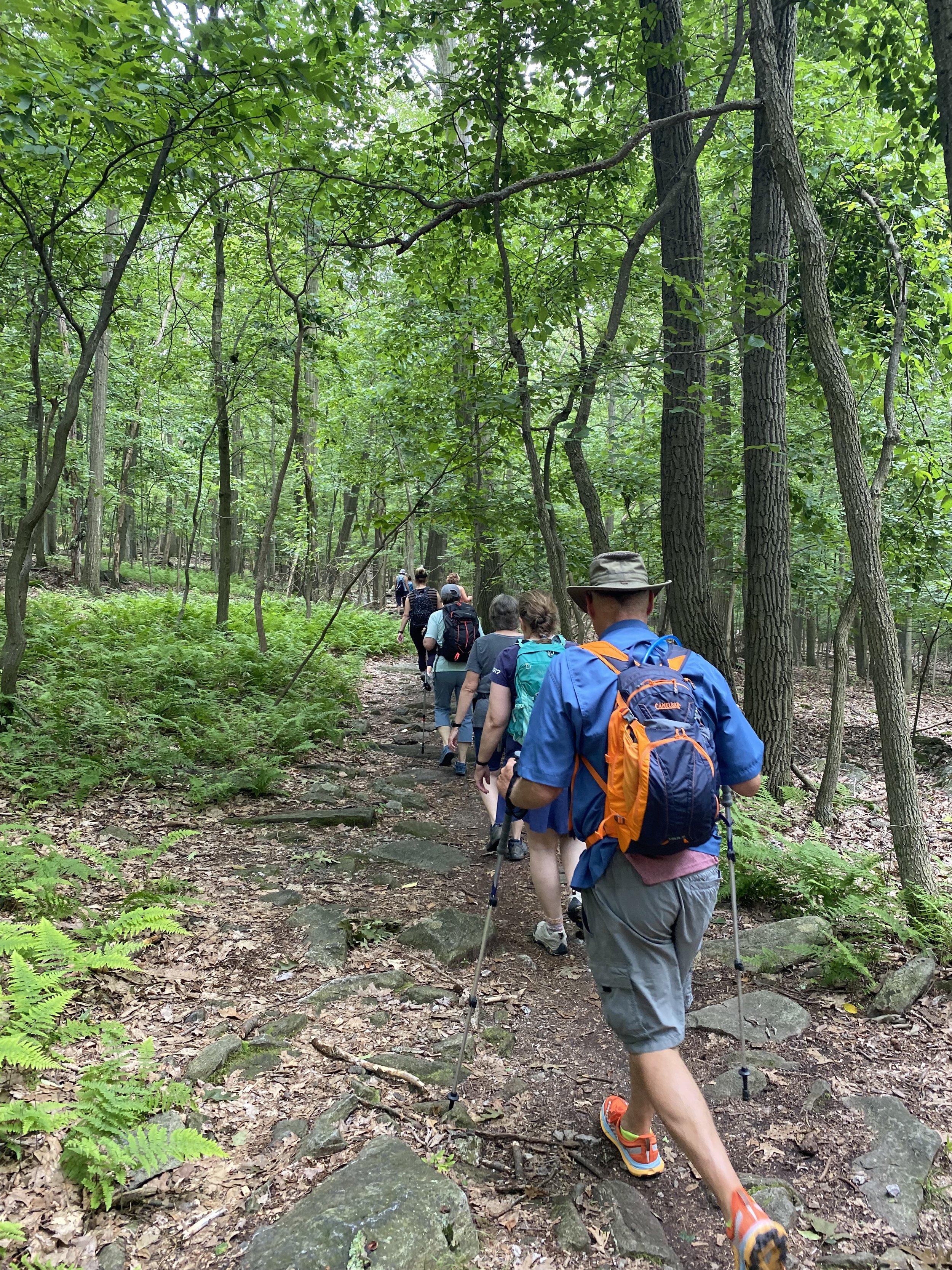
Our usual group was a little larger today with the addition of siblings, spouses and friends! This fun group met up on the shoulder of the road where the Appalachian Trail crosses Raven Rock Road. This may seem like a random place to start a hike, but with ample parking, this is an ideal place to begin if you’re planning an out-and-back hike to High Rock. The alternative is parking at High Rock and hiking along the AT south, but the halfway point would just be the side of the road and that’s just not fun!
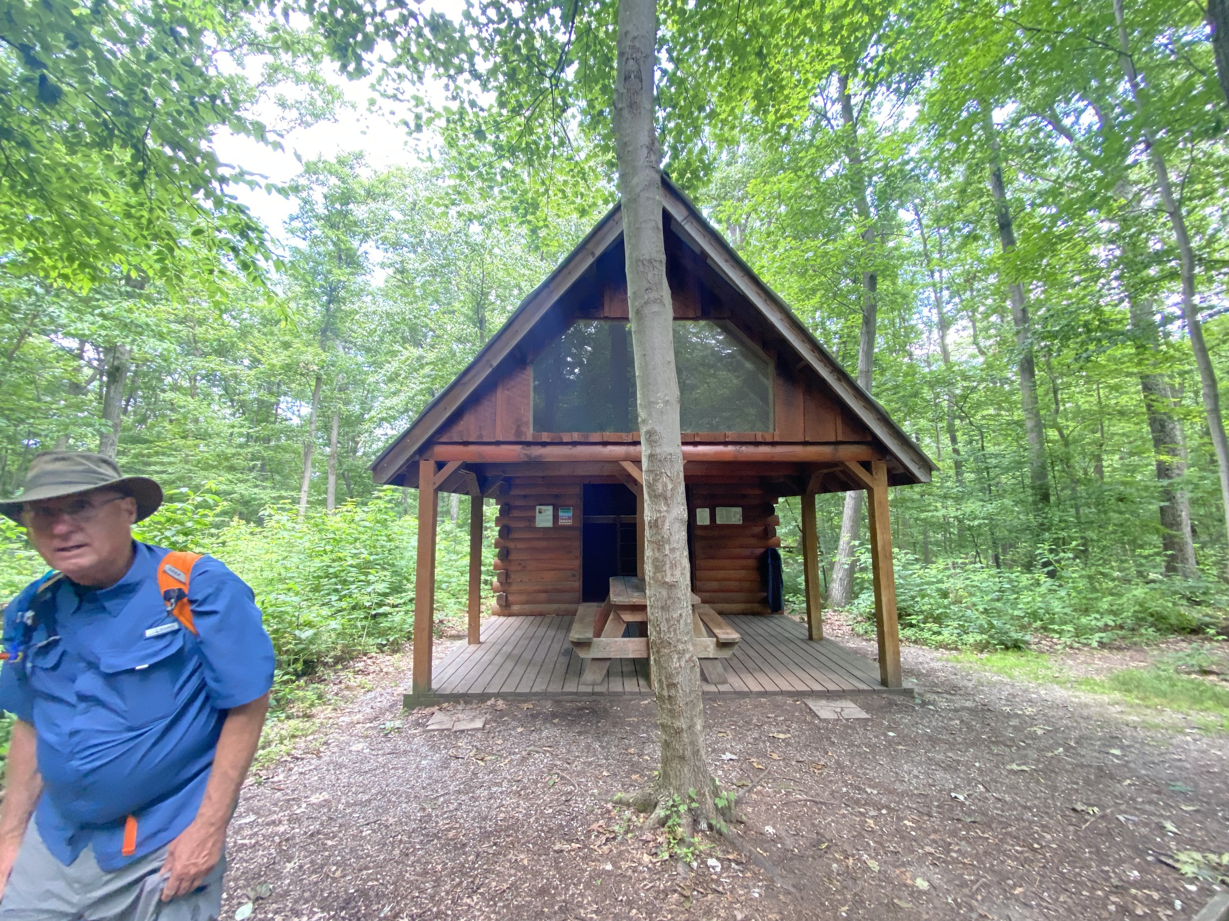
The first 3/4 of a mile were a doozy, as we climbed 600ft up. The AT winds along the Weverton Formation, with huge quartzite boulders and outcrops looming over the trail until it levels out at the ridge line. Once we caught our breath, the rest of the hike was enjoyable and shady. We passed a few SoBo thru-hikers as we neared the Raven Rock 3 sided shelter and campsites; this was a really nice shelter, complete with a privy, bear bag cable and a fire pit with benches!
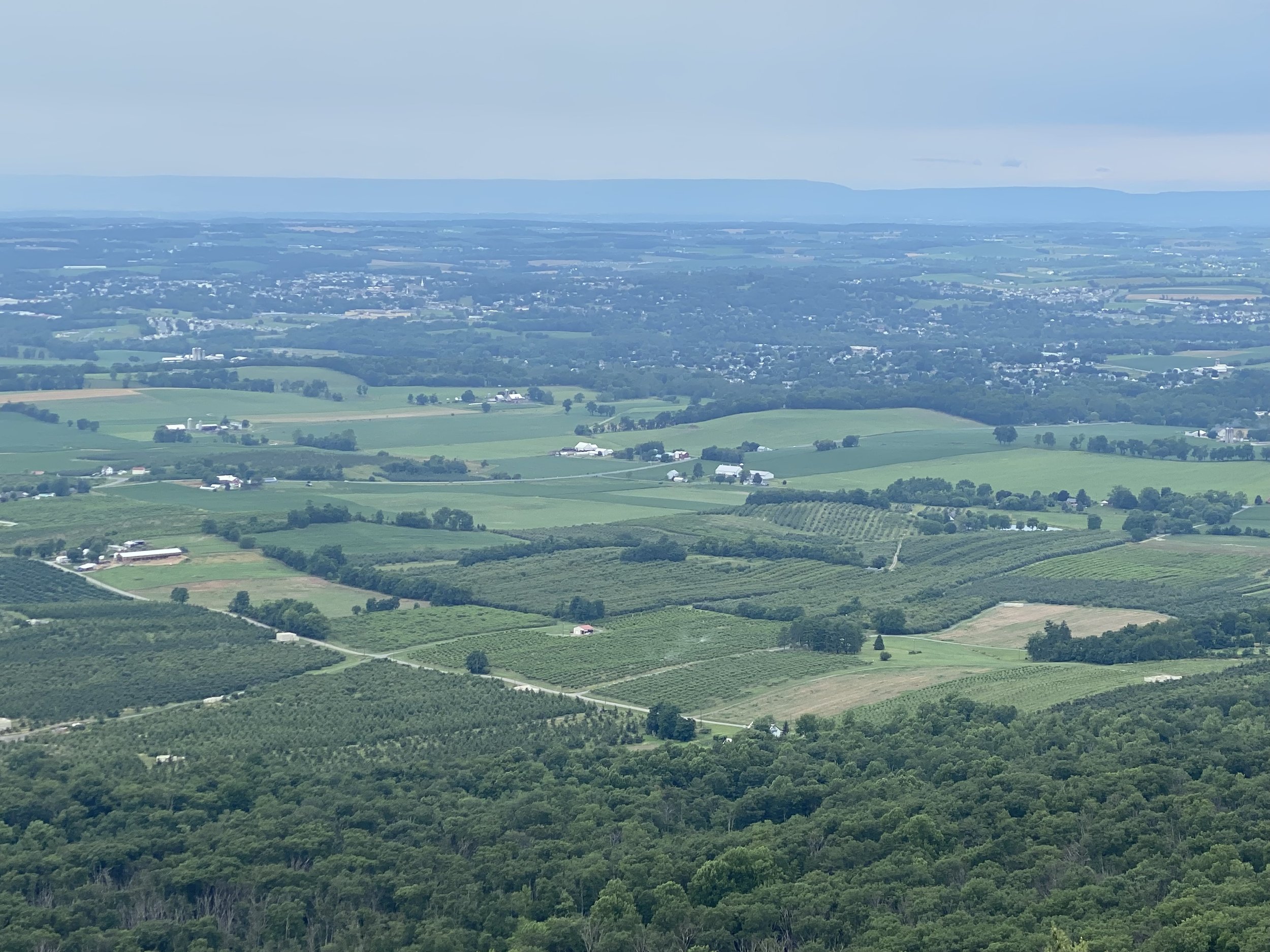
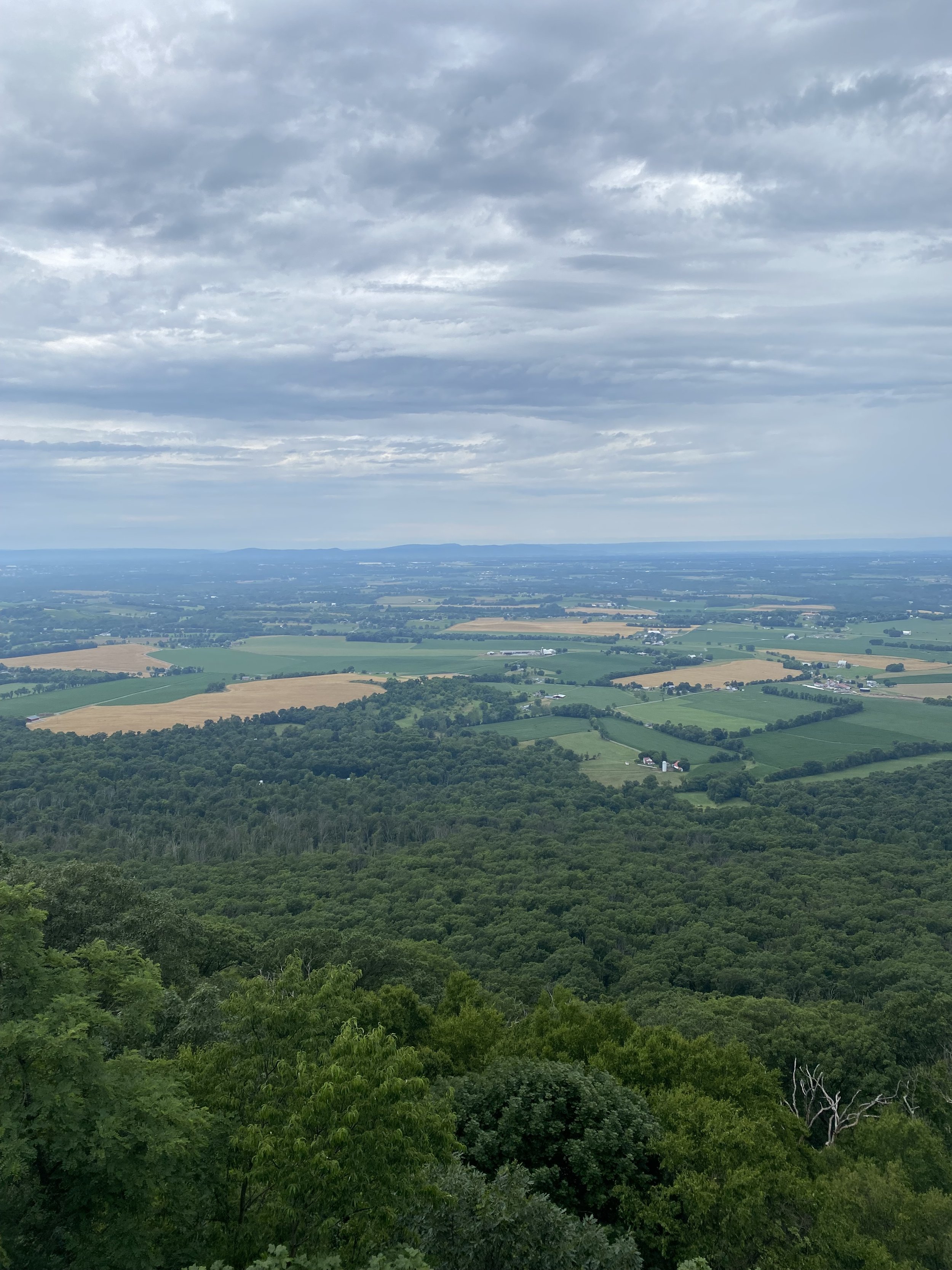
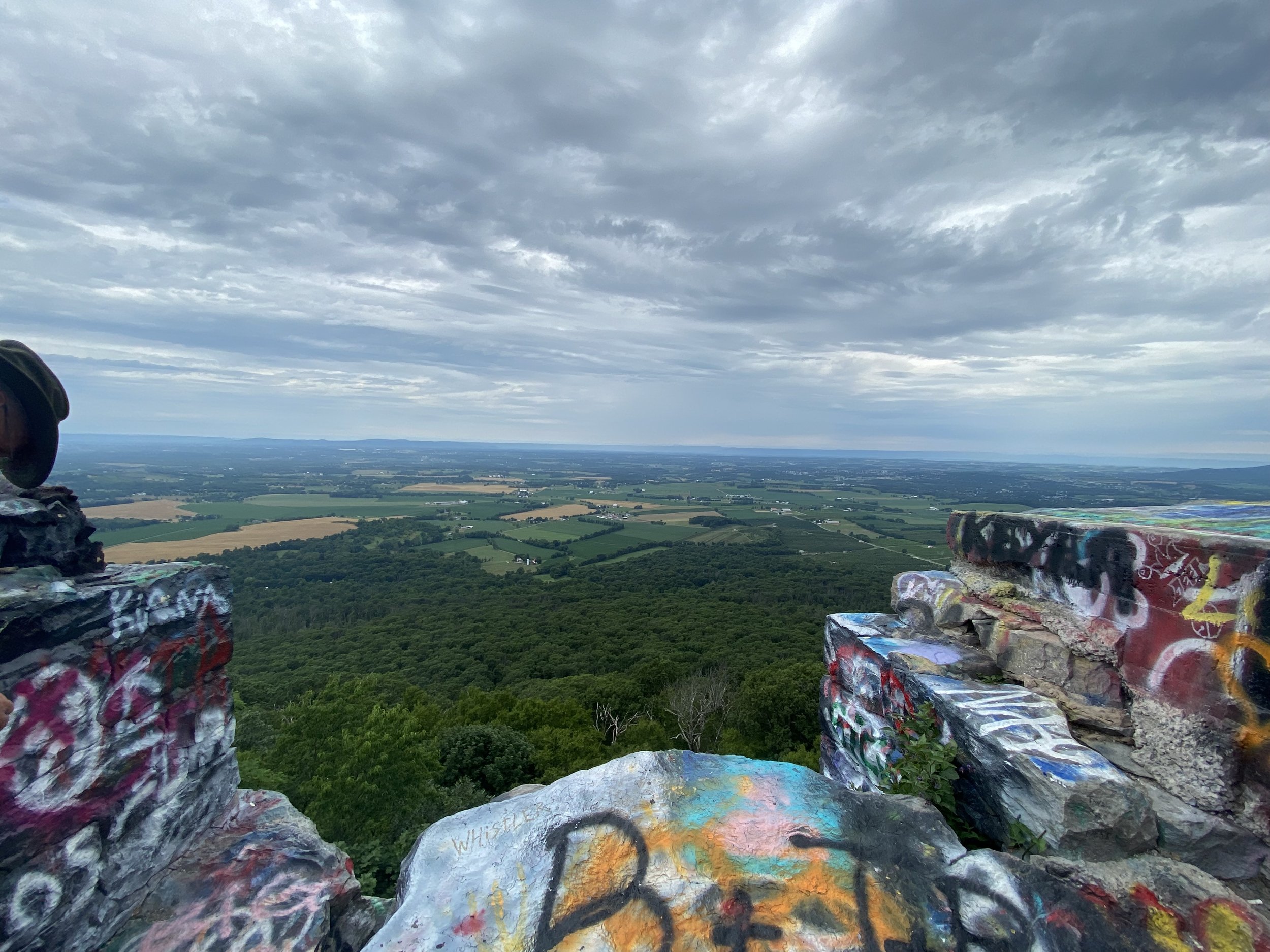
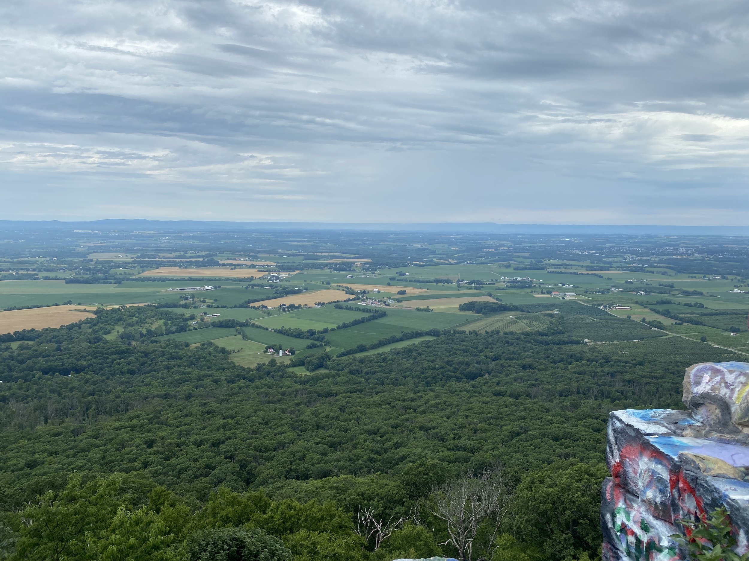
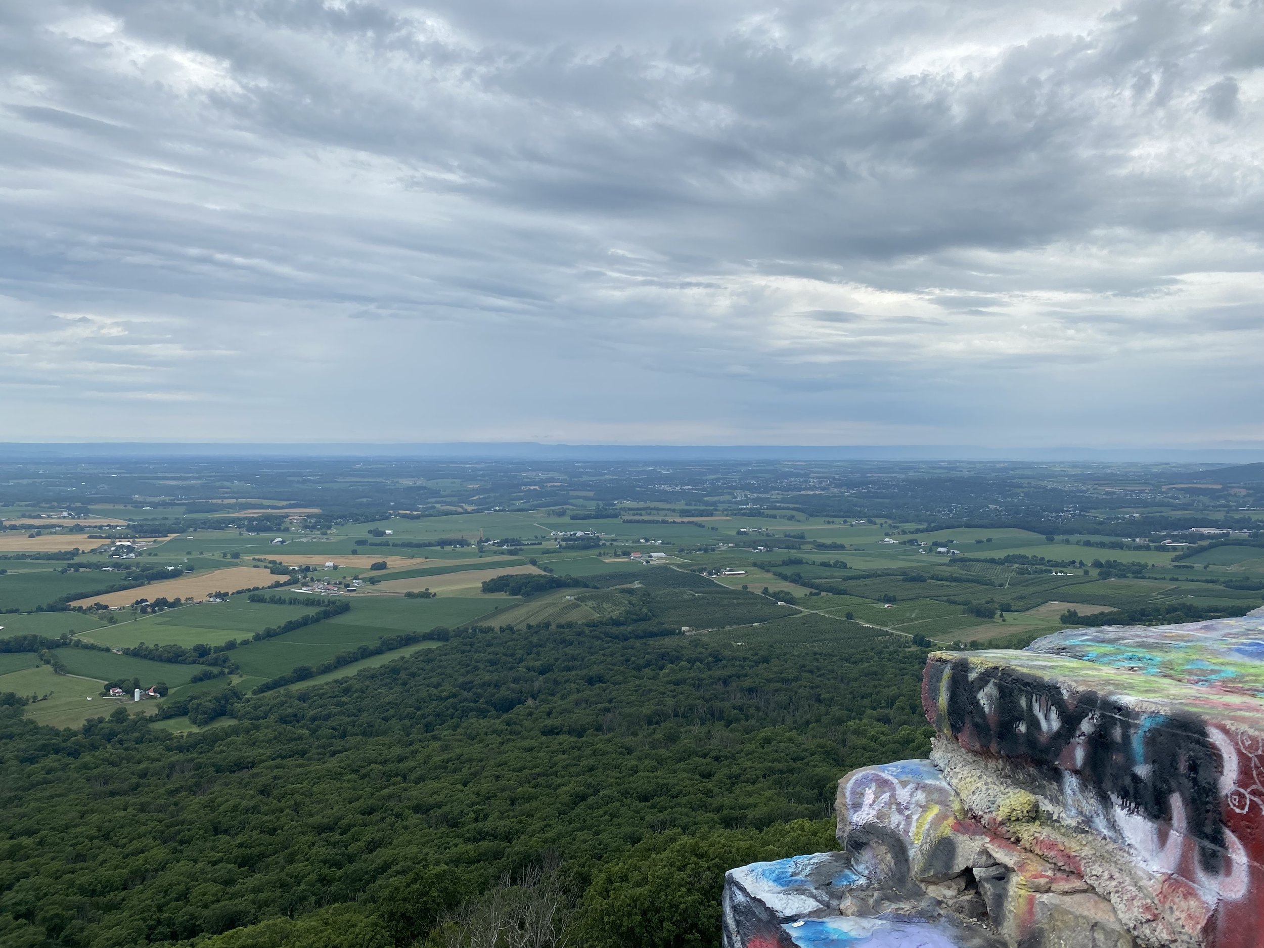
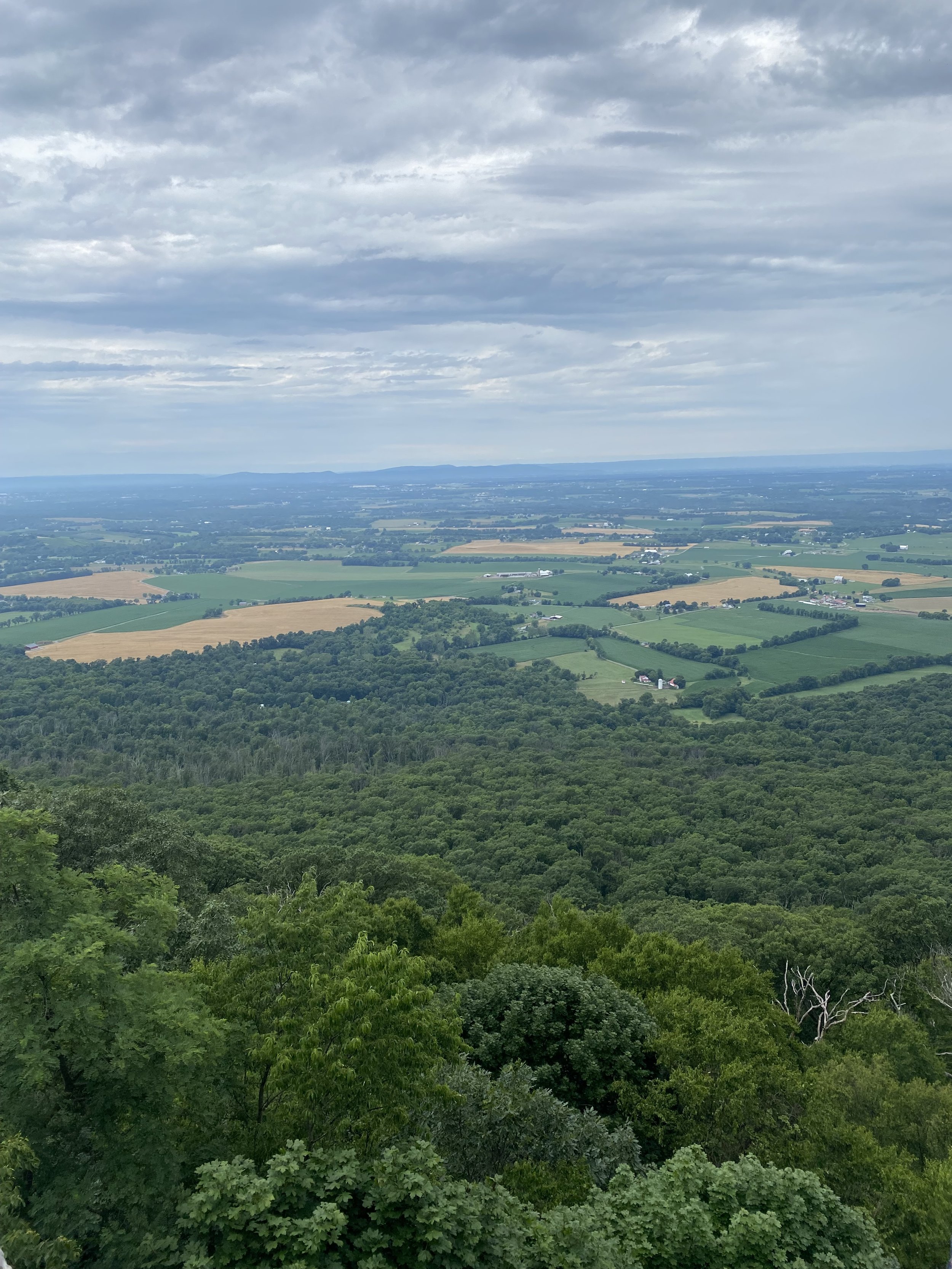
At mile 3, the AT takes a jog to the left around the overlook, but we continued on to the viewpoint. The view was spectacular, and we looked west toward Hagerstown. However, if you’re not expecting it, the area surrounding the overlook can be off putting; it’s a local hangout spot and is full of graffiti and litter, and many folks driving in and out of the gravel parking lot. Despite all this, the view is worth the hike up from the road, and has been used as a hang gliding launch spot in the past.
